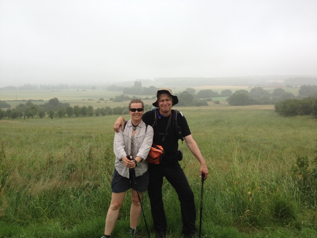
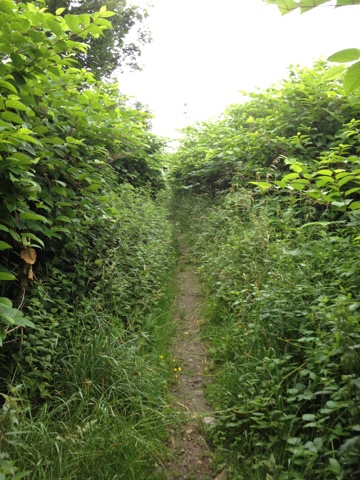
This morning was a practiced repeat of the day prior - out the door the same time to the same bus stop for the same bus line 50 with the same driver. A grey cool humid morning we jumped off at the forever bus stop of the day prior (Semecourt Carrefour) and headed up hill to catch the trail. Meeting it it turned around the next block and headed down through back yards and over to the street we got off. From there we walked through brushy nettled trail mostly unmolested for several hours of rural countryside and small towns. We had expected to pick up food along the way in the towns which proved frustratingly difficulty- you just didn't see a places to eat! Finally in the town of Saluny we spotted a cafe and plopped down on the terrace. The sign indicated ham & cheese sandwiches - but the propritor came out and said no food except the plat du jour - which was steak and so forth at 14€ a plate. Irritated we moved on, assessed what food we did have, and sat down on a farm road to eat - and actually it was enough. Beside us, I noticed a field of peas and we discretely had at a few of those too. Reenergized, we climbed the hill over towards Plappeville. At this point we went off the GR trail for purposeful investigation. There are several old military forts in the area - on every hilltop actually-and the GR5 passes near but usually below them. So leaving the GR using the GPS (google earth shows this pretty well) we toured two of these. The ruins of the 100+ year old Fort d Plappeville are here and overgrown, they loom through the woods. Amazing! You can't actually enter it, but cautious views on the perimeter are quite impressive. Instead of returning and following the GR descending into Plappeville, you can stay on the obvious trail on contour and follow it to a junction at the col de Lessy. Here a variant of the GR 5 comes up from Plappville and circles around Mount Saint Quentin then descends to meet the formal GR5 around Scy Chazelles. However there is an even vaster fort on this peak and it's easy to get into it. At the col just across and take the 2nd quick right along the road beside the grassy square, there were mountain bike/hiker tracks exiting the semi gated area. Immediately on the right is a fenced bunker and further on a tunnel the trail passes through. The structures are huge and we cautiously entered the cavernous entrance to one complex and peeked around. The trail cuts straight across and there should be a trail down to the road - darned if I could find it. So we had to follow along the easy trail further away from where we needed to go. At an overgrown junction to the left there are even larger structures ( would have enjoyed these if not experiencing route finding stress) and at this point had I looked over the dirt slope to the right it was easy down to the road - but I missed this too. Getting anxious about time and distance I used google to head down hill and at the site of a huge telecommunications one goes down hill on trail (not road as we started out) and then at a junction veering right gets to around to the road. More guiding humiliation at the beginning of the tower trail where we crept down slippery semi vertical hillside to get to road only at the bottom finding a dimly seem staircase down the same slope. Once on the road go straight, not downhill or the left, to arrive at the GR down in Scy Chazelles. This town pays homage to Robert Schuman - French resistance fighter and post war French President. But we were foot sore and ready to wind it up. So in the ville of Moulins we left the GR along the main road turning left and following it past a major junction where a bus # 5 route commuted us back to our hotel and an earned rest day. The warm air of the day produced a vigorous thunderstorm and dramatic clouds we enjoyed from our hotel after dinner at the Boucherie for burgers/ steaks. And a nice Grimbergen beer.


No comments:
Post a Comment